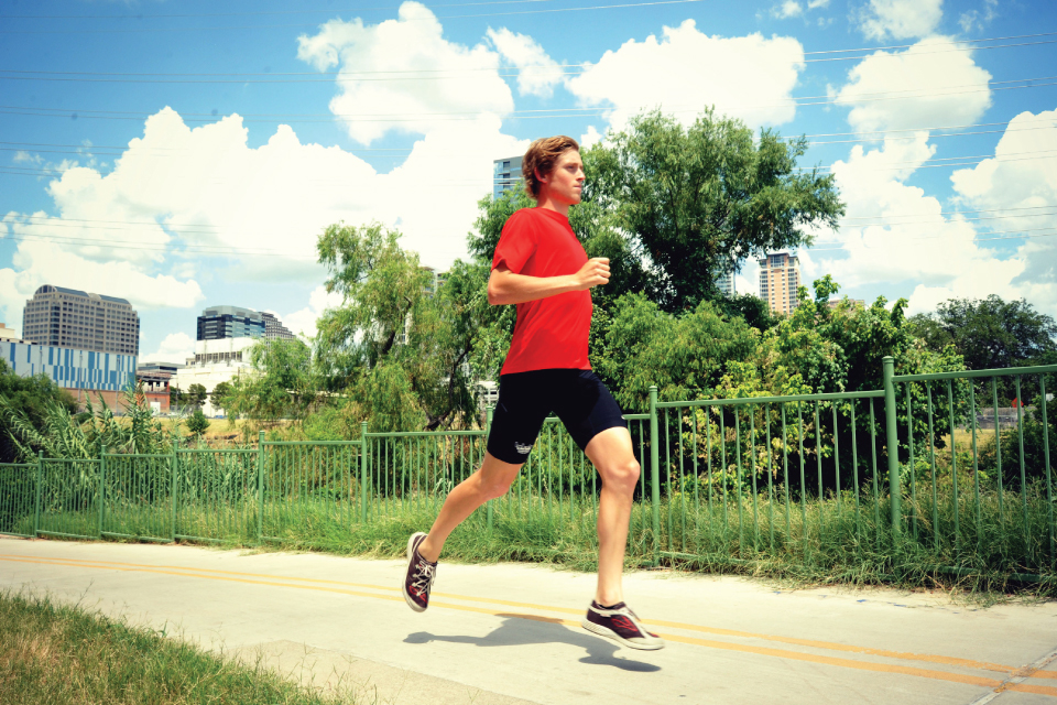
Route: Shoal Creek Shuffle

The Shoal Creek Shuffle is a diverse jog that rolls over shaded trails, under massive oaks, past ornate architecture, and near several pieces of good ole’ Texas history. This route was created by Nathanial Friedman, one of Austin’s local MapMyFitness ambassadors, and has a mix of road and gravel trail that provides a great break from pounding pure pavement on a daily basis. There are many points of access along the route, which enable you to cut out when the full 7+ mile trip needs shortening or have a friend to join in. You can typically find Nathanial at some point along this route during most of his training, and he knows these streets and trails like the back of his hand. Take a look at the points of interest listed below to make sure you don’t miss any of the great sights along the way. There’s even a historic drinking fountain to be found on the east side of the capitol under the low hanging live oaks, making this is a great option for a hot day.
1. Pease Park is the home of the infamous “Rainbow Hill.” This rolling climb gets the heart rate going and the legs burning as you ascend the quick climb along the Shoal Creek Trail.
2. You’ll pass right through the University of Texas campus while cruising down Speedway; you’re surrounded by many of the university’s historic buildings on this stretch.
3. Enter the Capitol complex at the North Gate and make your way to the South Gate using either East or West Drive. See if you can find all 17 Texas history monuments located on the 22 acres of land.
4. The corner of 6th and Congress contains a statue that depicts the fiery Texan Angelina Eberly firing her cannon to warn Austinites that troops were afoot. Thanks to Eberly, Austin is still the Capital of Texas.
5. Tucked in between the Shoal Creek trail and Cesar Chavez, the Seaholm Power Plant provides a visual reference to the Austin of the 1950s with its retro signage. Watch to see what renovations are taking place whenever you repeat this classic route.
Run/Jog 7.14 miles
START ELEVATION: 455 FT • MAX ELEVATION: 610 FT
View the Route Map HERE


