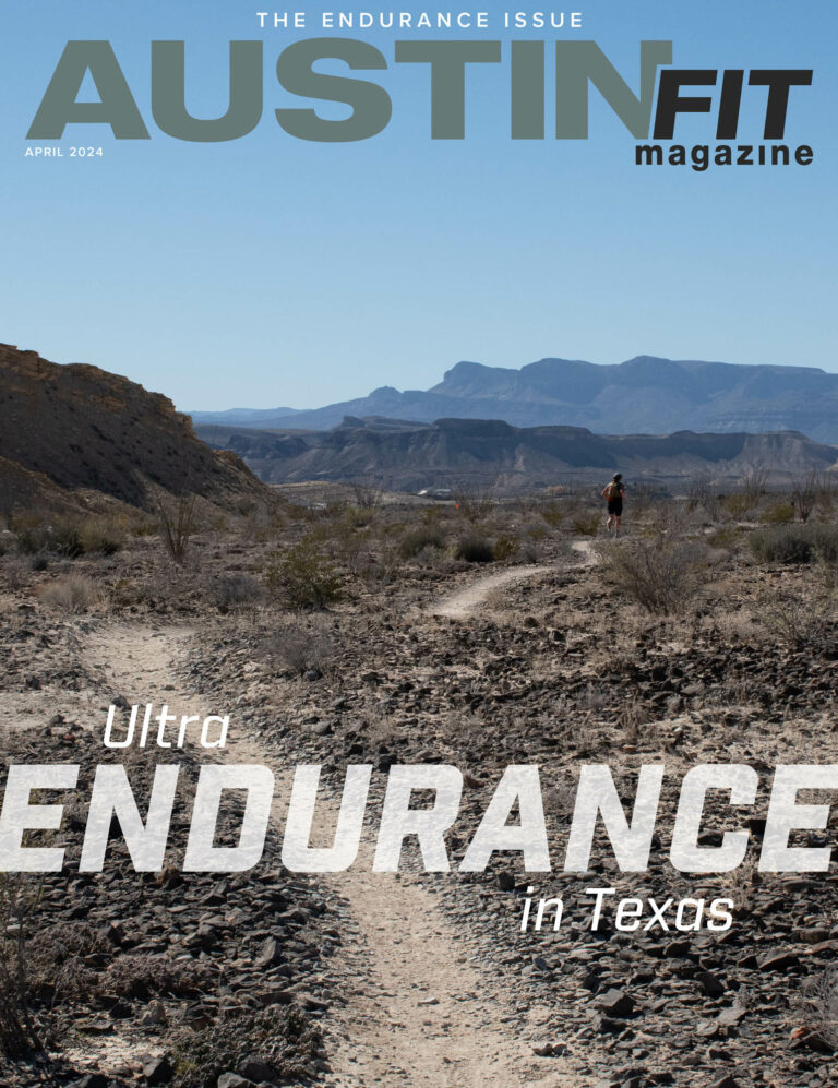
Race Routes: Run for the Water and Scenic

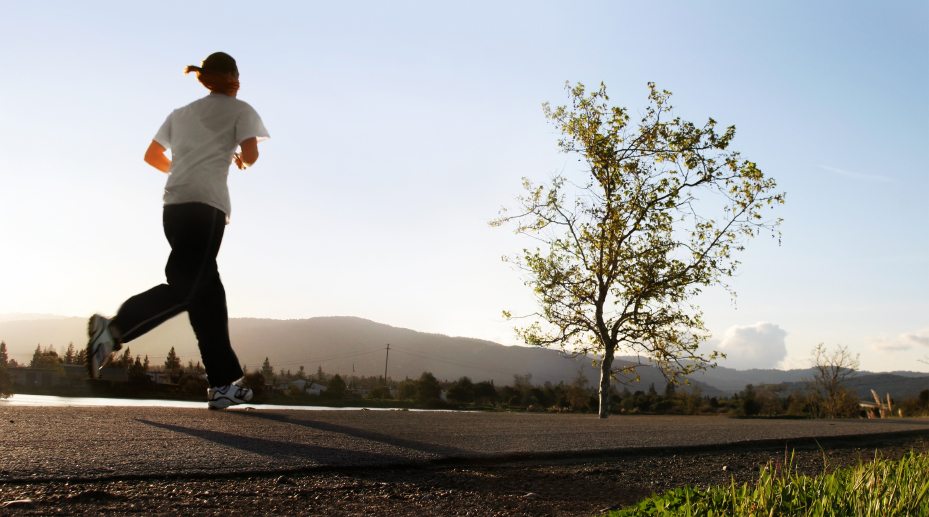 If you’ve ever signed up for a road race here in Austin, you may wonder, “Where in the world did they come up with THAT route?” There may be a few in particular who’ve scratched their heads after the Run for the Water 10-miler, muttered a few cuss words, and wanted to track down the sadist/masochist who dreamed that one up.
So there’s a history…
Back in ye olden days of Austin’s running scene history, there was this 7-mile route—the Scenic Loop. It got passed around from runner to runner: “Hey, I did this kick-ass hilly run route, Scenic. Let’s do it.” It’s the kind of run that is part of that runner code that can be so confusing to beginners, like “Meet me at the Rock” (it’s that piece of granite at the Lady Bird Lake trail head off of Veteran’s Avenue, by the tennis center); if somebody’s got to explain it to you, you’re not quite an old hand yet.
The Scenic Loop (as it was handed down to me) starts at the Rock; runners head out to Lake Austin Boulevard, take a left, and run (cautiously) past Enfield and the boat ramp. During the warm months, you can stop at the water fountain at the boat ramp and take advantage of the bathrooms. Continue straight (Lake Austin Boulevard actually becomes Scenic); you’ll take the next left at the bottom of a hill onto Cherry Lane, which you’ll follow as it winds around. You’ll go left on Rockmoor and then take another left on Kennelwood Road, which, in the grand Austin tradition of one street having 2-3 names actually becomes Scenic again. This is where the fun starts to happen; get a glimpse of the beautiful hillside homes overlooking the lake as you bomb the downhills. The view is spectacular whether you’re looking at the lake to your left, Mt. Bonnell on the horizon, or some very “old Austin” along with newly renovated classic homes to your right. You’ll follow Scenic a long way (you’ve got a few up-hills ahead of you), all the way until it runs out and “tees” into Pecos, at which point you’ll take a left.
Many runners stop for a break at the dry cleaners on the corner of Pecos and 35th; it’s a great mid-way point to have a gel or regroup. Here’s the tricky part, traffic-wise: turn right onto 35th Street. Normally, runners should run on the left-hand side of the road, facing traffic, for safety. At that point on 35th, however, there is no shoulder or bike lane as you go east; if you run on the left, you’ll need to be on the grassy shoulder, out of traffic. If you choose to run on the right hand side of the road, there is no sidewalk for part of the way (though it does pick up about half way up) and the road is extremely winding with poor visibility for cars coming behind you—exercise caution! You’re on 35th for a short way (just the hard hill, thank you very much) until you make a right turn onto Exposition, which rolls its way all the way back to Lake Austin Boulevard, where you happily turn left to head back to where you started.
Scenic is a great run to work on Austin’s signature hilly terrain, and coaches of all groups throughout the years have woven the route into training plans. Mixon Henry, currently leading free Tuesday night runs out of Jack and Adams bike shop on Barton Springs Road, made heavy use of this route in his days as a RunTex marathon coach; Google “Scenic Trip Ticket” and first on the search list are links to Rogue Training Systems. Which brings us to Austin Fit Magazine Distance Challenge Series race #2, Run for the Water 10-miler—take a look at the course map here. You’re essentially running the historic Scenic Loop backwards. And that was no accident… Michael Madison explained how Gilbert Tuhabonye and the Gazelle Foundation came to the RFTW route: “The Scenic Loop was chosen because of the uniqueness of the neighborhood and the value it added to our race route. The direction of the course provides a friendly downhill mile at exactly the halfway point and throws in one last steep hill that tends to break someone who went out too fast. It’s a beautiful area; we’re blessed to have the neighborhood’s continued support over all these years. Just about every other major race in town has changed their course since 2007, and Run for the Water has held steady – save for a start/finish line move to the South First Bridge, but it did not impact anything other than the first and final quarter miles.”
So, thank Austin running tradition for the hilly Run for the Water 10-miler…and get out there and hit the course these next few weeks so you’re not hitting the wall on Scenic come October 30!