Hike the Bull Creek Greenbelt
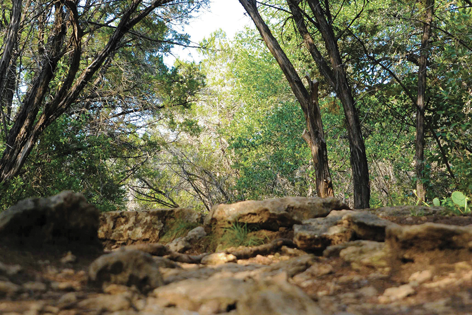
Located in the shadow of Capital of Texas Highway Loop 360, the Bull Creek greenbelt is a favorite hiking destination in northwest Austin. The greenbelt surrounds a segment of Bull Creek known for its scenery, containing natural springs, waterfalls, swimming holes, and towering limestone bluffs.
The Austin Sierra Club often starts hikes at the greenbelt's northeast trailhead near 5300 Old Spicewood Springs Road. Parking is available in a gravel lot across from the entrance to The Marquis at Treetops apartments. Also known as Inga's Trail, the path runs mostly parallel to the creek, but also crosses the creek in several places. If not during a drought season, it can be a challenge for one's rock-hopping ability; otherwise wear shoes that you don't mind getting wet. The trail is mostly flat and about 4.5 miles round-trip when making a loop at Bull Creek District Park, which is an alternate starting point located at 6713 Lakewood Drive. More challenging side trails ascend the cliffs to the south and to the north. (Always heed signs indicating private property and listing Balcones Canyonland Preserve rules and regulations.)
Special thanks to volunteers at the Bull Creek Foundation for helping maintain the trail.